The Wild Pacific Trail in Ucluelet: Loops, Lighthouse & Views
Ucluelet's showpiece is a network of clifftop loops that many visitors rate as the finest coastal walk on Vancouver Island's west coast. Here is how to link the Lighthouse Loop, the Artist Loops and the Ancient Cedars into a day, and when to come for the biggest surf.
Walk Ucluelet’s free clifftop loops first. Then compare guided west-coast add-ons for water access, wildlife and easier transport.
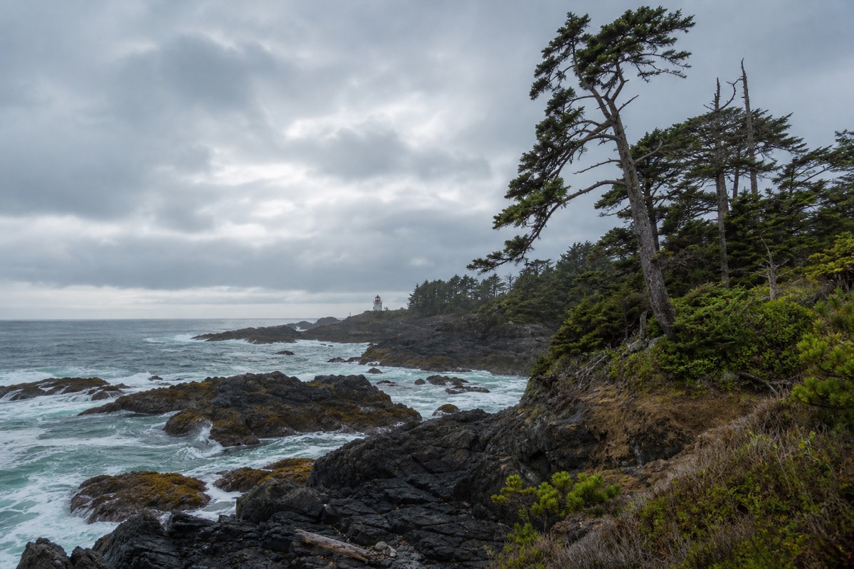
Stand on the Rocky Bluffs section on a stormy afternoon and the whole point of Ucluelet becomes obvious. The swell that has crossed the open Pacific slams into the headland below, the spray climbs the cliff, and the trail keeps you close enough to feel it without putting you in danger. The Wild Pacific Trail is a community-built network of loops and connectors that hugs this exposed shore, and it has quietly become the reason many travellers pick Ucluelet over its busier neighbour. This guide breaks down each section, how to string them together, and when the coast puts on its best show.
The Wild Pacific Trail, loop by loop
Planning allowances for the Wild Pacific Trail loops; distances vary with which sections you connect, so treat them as a guide, not a promise.
What is the Wild Pacific Trail in Ucluelet?
The Wild Pacific Trail is a network of coastal walking loops and connector paths along the exposed headlands of Ucluelet, on the west coast of Vancouver Island. It is not a single line but several linked sections, from the compact Lighthouse Loop around Amphitrite Point to the longer Artist Loops and the Ancient Cedars stretch, so you can walk a short circuit or piece together several kilometres of clifftop coast.
The trail was built and is maintained by a local community society rather than a national or provincial park, which is part of its charm: it was designed by people who wanted to show off their coastline at its most dramatic. The path stays close to the water, threading between wind-sculpted spruce and open rock, with benches and viewpoints placed exactly where the surf is best. Because it sits right at the edge of the peninsula, it catches weather that the sheltered inland trails never see.
Ucluelet sits at the southern gateway to Pacific Rim National Park, and the two make a natural pairing: the park for its long sand beaches and rainforest boardwalks, the Wild Pacific Trail for its clifftop drama. The town itself is the quieter, more local counterpart to Tofino, and if you are still deciding where to sleep, our comparison of Tofino or Ucluelet as a base lays out the trade-offs. For general trip-planning across the region, the island visitor resource is a useful starting point, and the adjacent national park posts conditions on the Parks Canada Pacific Rim pages.
| Feature | Detail |
|---|---|
| Where | Ucluelet, west coast of Vancouver Island |
| What it is | Network of clifftop loops and connectors |
| Managed by | A local community trail society |
| Cost | Free to walk |
| Best known for | Storm watching and surf views |
| Nearest park | Pacific Rim National Park, just north |
What are the main loops and sections of the Wild Pacific Trail?
The trail breaks into a few distinct sections. The Lighthouse Loop is the short, family-friendly circuit around the Amphitrite Point Lighthouse. The Artist Loops run north from Big Beach past Rocky Bluffs with the biggest surf views. The Ancient Cedars stretch adds old, wind-stunted trees, and shorter connectors link them to town and to Brown's Beach.
The Lighthouse Loop is where most first-timers start. It is a compact circuit around Amphitrite Point, mostly gentle and partly accessible, passing the squat lighthouse and a run of viewpoints over the reefs where the swell breaks white. Families and anyone short on time can walk just this loop and come away satisfied. It also connects toward town, so you can start from several points.
The Artist Loops, reached from the Big Beach area, are the section serious walkers rave about. This stretch runs along Rocky Bluffs, where the trail sits high above surge-battered rock and the wind-bent trees frame view after view of open ocean. Add the Ancient Cedars section for gnarled, salt-stunted trees shaped by generations of storms, and Brown's Beach for a pocket of sand and tide pools. Because the sections connect, you can build a walk of almost any length. If you would rather explore the coast by bike and on foot with a guide farther north, a guided bike and hike along Tofino's surf beaches covers similar terrain with local commentary.
| Section | Character | Best for |
|---|---|---|
| Lighthouse Loop | Short circuit past Amphitrite Point | Families, first walk, limited time |
| Artist Loops (Rocky Bluffs) | High clifftop, biggest surf views | Storm watching, photographers |
| Ancient Cedars | Wind-stunted old trees | Forest and coast combined |
| Brown's Beach | Small beach and tide pools | A rest and a swim spot |
| Town connectors | Link the loops to Ucluelet | Walking in from your lodging |
How long is the Wild Pacific Trail, and how hard is it?
End to end, the linked sections add up to roughly nine kilometres, but almost nobody walks it as one line. The Lighthouse Loop is an easy circuit of about 2.5 kilometres that most people finish in under an hour, while the Artist Loops run longer and involve more up and down. Overall the trail is easy to moderate, well surfaced, and suitable for most fitness levels.
Treat these distances as planning allowances rather than exact figures, because how far you walk depends entirely on which loops you link. A quick lighthouse circuit is a short outing; combining the Lighthouse Loop, the Artist Loops and the Ancient Cedars turns it into a half-day of walking with plenty of stops. The path is generally wide and well maintained, with gravel and boardwalk sections and modest elevation change, which is why it suits families and casual walkers as well as keen hikers.
The one thing to respect is the edge. The trail stays close to unfenced cliffs above surge channels where waves can reach far higher than they look, so keep to the path, hold onto children, and never scramble onto wet rock to get a photo. Sturdy shoes with grip matter on wet days, and the whole coast is slick after rain. If you want a longer or more demanding walk elsewhere on the island, compare options in our roundup of the best hikes on Vancouver Island, and for the serious multi-day coastal routes to the south see our guide to the West Coast Trail and Juan de Fuca Marine Trail.
How you sequence the loops shapes the day. Many walkers do the Lighthouse Loop first thing, when the light is low and the crowds are thin, then drive or walk to the Big Beach area for the Artist Loops in the afternoon. Others walk in from town and make a slow half-day of it, stopping at the benches that dot the higher viewpoints. Because the sections are self-contained, you can bail out at a trailhead whenever the weather turns, which it does often on this coast, then pick up where you left off once a squall blows through. There is no wrong order, only the one that fits your legs and the tide.
| Loop | Distance (allow) | Time (allow) | Difficulty |
|---|---|---|---|
| Lighthouse Loop | About 2.5 km | 45 min to 1 hr | Easy, partly accessible |
| Artist Loops | Several km, sectioned | 1 to 2 hrs | Easy to moderate |
| Ancient Cedars | Short add-on | 30 to 45 min | Easy |
| Full linked network | Roughly 9 km total | Half a day with stops | Easy to moderate |
Where is the Amphitrite Point Lighthouse, and can you walk to it?
The Amphitrite Point Lighthouse stands at the southern tip of the Ucluelet peninsula, and yes, the Lighthouse Loop of the Wild Pacific Trail walks you right to it. The current squat concrete lighthouse replaced an earlier structure destroyed by the sea, and it marks one of the most exposed corners of this coast, where reefs and swell have long made the approach hazardous for ships.
The lighthouse is the anchor of the whole trail's south end and its most photographed feature. You reach it on foot in a few minutes from the Lighthouse Loop parking area, and the viewpoints around it look out over the reefs where the surf breaks in long white lines. On a clear day the horizon runs uninterrupted to the open Pacific; on a stormy one, the same spot becomes a front-row seat to the sea at full power.
This corner of the coast has a real maritime history, sitting near the northern end of the treacherous waters that earned the wider region its Graveyard of the Pacific reputation. That history is part of why the lifesaving and lighthouse infrastructure exists here at all. The building itself is not open as a museum, but the walk to it, the setting and the views make it a highlight in any weather. Keep well back from the water's edge near the point, because the swell here is powerful and unpredictable.
| Detail | Information |
|---|---|
| Location | Southern tip of the Ucluelet peninsula |
| Reached via | The Lighthouse Loop |
| Walk in | A few minutes from the loop parking |
| Access inside | Not open to the public |
| Why go | Views, surf, maritime history |
When is the best time to walk the Wild Pacific Trail?
The trail is worth walking year-round, but the two standout windows are summer, from June to September, for the calmest weather and long evenings, and winter, from November to February, for storm watching, when huge swells crash against the headlands. Spring and autumn are quieter and often the best value, with a mix of both moods.
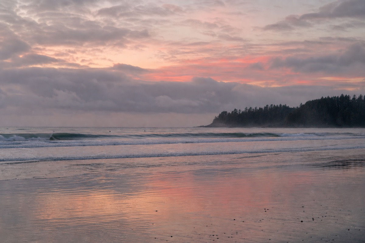
Summer brings the driest, warmest conditions and the busiest trails, though the Wild Pacific Trail rarely feels crowded the way Tofino's beaches can. Long daylight means you can walk the loops in the evening when the light rakes across the water and the crowds thin. This is also the season of dependable whale activity offshore, and patient walkers sometimes spot the spouts of grey or humpback whales from the higher viewpoints.
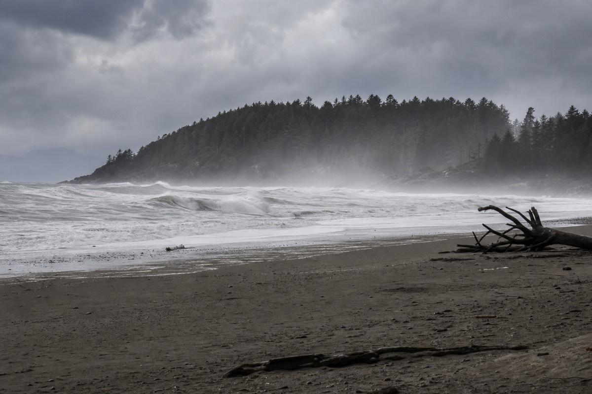
Winter is the coast's dramatic season, and Ucluelet's headlands are among the finest storm-watching perches anywhere in the region. From November through February the North Pacific throws swell after swell at the shore, and the Artist Loops put you safely above the spectacle. Dress for wind and rain, keep well back from the surge zone, and pair the walk with a warm room and a hot drink. Our guide to storm watching on the west coast covers the season in full, and to compare months across the whole island see the best month to visit Vancouver Island.
| Season | Weather | Highlight | Crowds |
|---|---|---|---|
| Spring (Mar to May) | Cool, changeable | Grey whales passing, quiet trails | Light |
| Summer (Jun to Sep) | Warmest, driest | Long evenings, humpbacks offshore | Busiest |
| Autumn (Oct) | Mild, rain returning | Autumn light, easing crowds | Moderate |
| Winter (Nov to Feb) | Wild storms, rain | Storm watching at its best | Quietest |
How do you get to the Wild Pacific Trail, and where do you park?
The Wild Pacific Trail sits within and around the town of Ucluelet, about a four-hour drive west from Nanaimo on Highway 4, or a little over four hours from Victoria. There are several trailhead parking areas, including one at the Lighthouse Loop near Amphitrite Point and others near Big Beach for the Artist Loops. From Ucluelet's centre you can also reach the trail on foot.
There is no road bridge and no direct route from the mainland, so reaching Ucluelet means crossing to Vancouver Island first, then driving Highway 4 across the mountains to the coast. Most visitors cross by ferry or floatplane; our guide to getting to Vancouver Island covers the crossings, and our road trips guide maps the drive west stop by stop. Highway 4's final stretch is narrow and winding and can close for weather or construction, so fuel up in Port Alberni and build in buffer time.
Once in town, parking is spread across the trailheads rather than concentrated in one lot, which helps keep the sections quiet. The Lighthouse Loop area serves the southern circuit, while the Big Beach area serves the Artist Loops. Many visitors staying in Ucluelet simply walk from their accommodation, since the trail loops around the edge of the compact town. If you would rather leave the long drive to someone else, a private two-day trip from Vancouver to Tofino handles the ferry, the highway and the old-growth stops in one package, basing you on the same coast.
| From | Distance (allow) | Drive time (allow) | Notes |
|---|---|---|---|
| Nanaimo | About 200 km | Around 4 hours | Closest ferry gateway, via Highway 4 |
| Victoria | About 290 km | 4 to 4.5 hours | Long but scenic |
| Tofino | About 40 km | Around 40 minutes | Long Beach lies between the two |
| Port Alberni | About 100 km | Around 1.5 hours | Last major fuel and supplies |
What else should you do around Ucluelet?
Base yourself in Ucluelet for a few days and you can pair the Wild Pacific Trail with the beaches and rainforest boardwalks of Pacific Rim National Park, the tide pools and surf beaches nearby, and boat tours into Clayoquot Sound for bears and whales. Tofino, only 40 minutes north, adds surfing, dining and more wildlife departures.
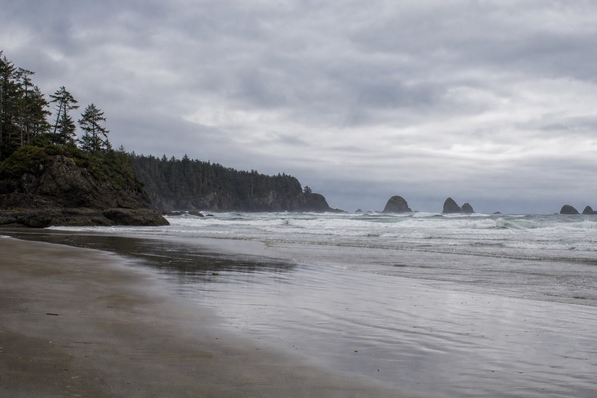
The trail is a highlight, not a whole trip. Long Beach and the national park's short rainforest loops sit just north, and the sand runs for miles between Ucluelet and Tofino. Surfers, tide-poolers and beachcombers all find their patch along this coast. For the full west-coast picture, from beaches to bear cruises, see our roundup of things to do in Tofino and Ucluelet, and to rank the sand against the rest of the island, our guide to the best beaches on Vancouver Island.
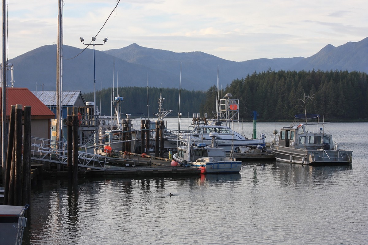
Ucluelet itself rewards a slow afternoon between walks. The compact town centre has a handful of good cafes and seafood spots, a small working harbour where fishing boats come and go, and a relaxed, end-of-the-road feel that many visitors prefer to Tofino's summer bustle. Basing here for two or three nights lets you catch the Wild Pacific Trail in several moods, at dawn, in the evening light, and mid-storm, and still have time for the beaches and a boat tour. It is the kind of place that grows on you the longer you stay, which is exactly why regulars keep coming back to this quieter corner of the coast.
Wildlife is the other reason to give the area a few days. Most boat tours leave from Tofino harbour, a short drive north, and they reach places no road can. A small-group bear watching cruise into Clayoquot Sound tracks coastal black bears foraging at low tide, and the boat-only trip to the remote geothermal pools at Hot Springs Cove pairs a wildlife-rich cruise with a soak at the ocean's edge. To understand which season suits which species and where to launch, read our guide to whale watching on Vancouver Island. When you are ready to book the days on the water, our team arranges the full range of guided west coast tours from one place.
| Nearby experience | Where | Good for |
|---|---|---|
| Long Beach and rainforest trails | Pacific Rim National Park, just north | Beaches, easy boardwalks |
| Bear watching cruise | Departs Tofino, 40 min north | Coastal black bears at low tide |
| Hot Springs Cove trip | Boat from Tofino | Wildlife cruise plus a hot soak |
| Surfing and surf lessons | Cox Bay and Chesterman, Tofino side | Beginners to seasoned surfers |
| Whale watching | Tofino and Ucluelet waters | Grey and humpback whales in season |